
Project intelligence, grounded in reality.
allaiz connects contracts, drawings, schedules, costs, RFIs, meetings, LiDAR, 360° capture, and field video into one AI assistant aware of every detail of the project.

Construction runs on information — and loses it constantly.
Project information is scattered across contracts, drawings, schedules, cost systems, inboxes, and meeting minutes — and none of it agrees with what is actually built on site.
Contracts, drawings, schedules, cost records, RFIs, submittals, claims, reports, meeting minutes, emails — each living in its own system, each telling part of the story.
Concrete poured, blockwork raised, MEP installed, deliveries late, constraints emerging — the physical truth of the project, changing every day, recorded almost nowhere.
Most AI tools understand project documents. Most reality-capture tools see the site. Almost nothing does both.
The industry has measured the damage.
lost per team, per week, searching for scattered project information
Autodeskestimated global cost of bad and unusable project data
FMIof rework driven by poor data and miscommunication
Autodeskaverage schedule delay on large projects versus initial plans
McKinseyaverage cost overrun on the same large projects
McKinseyRFIs on an average project — at roughly $1,080 each
CMAATwenty ranked pain points, one root cause: the project's information never lives in one place — and never agrees with the site.
One assistant, over the systems the project already runs on.
An engineering language model fed by the outputs of every system a project already uses — and grounded in captured reality. No migration. No replacement. One intelligence layer.
Every answer draws on contracts, drawings, cost, schedule, and site reality together.
The platform sits above existing software — an intelligence layer, not another silo.
From tender to closeout, the assistant carries the full project memory forward.
Reality capture senses. The platform reasons. The engineer decides.
Contracts, schedules, cost and QS records, RFIs, minutes — the knowledge the project already holds.
LiDAR, 360° camera, field video, and AI vision — sensing physical reality on site, continuously.
Reasons, remembers, and connects — cross-checking what the records say against what the site shows.
Informed — never replaced. Every recommendation is reviewed, approved, and owned by a human engineer.
Everyone else runs the brain on memory alone. We gave it a nervous system.
Ask the project anything.
Illustrative interface. The assistant layer is developed and validated with pilot partners.
Every answer cites its sources — grounded in the project's own documents and the captured state of the site.
Not a concept. Reality intelligence is already in the field.
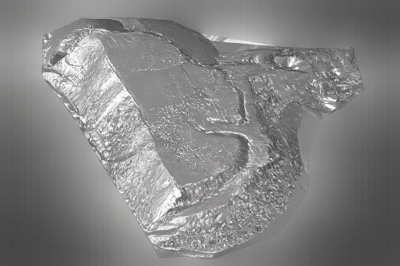
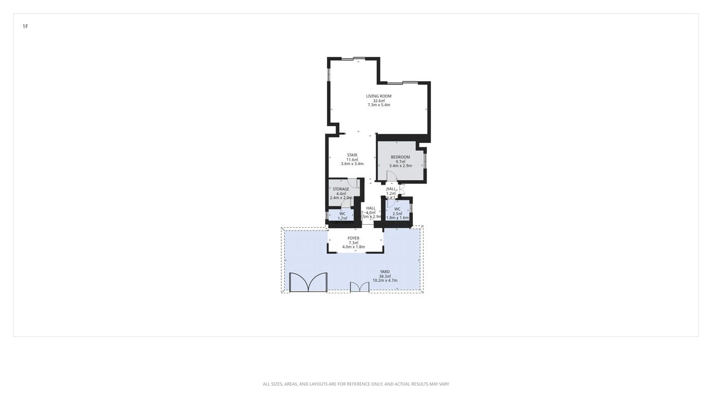
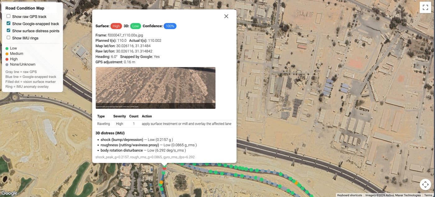
Reality products operate today. The assistant layer is what we build with our partners.
Explore Reality IntelligenceAI augments engineers. It never replaces them.
Each response traces to its source — the contract clause, the drawing revision, or the site scan it came from. Nothing is asserted without evidence.
Drafted RFI responses, reports, and reviews go to your engineers first. They review, edit, and approve before anything moves. The human stays in the loop.
The platform scales your best engineers’ expertise across every project — freeing them from searching so they can spend their time deciding.
allaiz informs engineers. It does not replace them.
Build the project intelligence layer with us.
allaiz is seeking strategic partners for a focused nine-month pilot — project records under NDA, live capture on selected projects, and a jointly agreed scorecard.